
Geophysical tools have been used for years to locate unknown buried tanks, drums, and other objects, or properly delineate the depth and size of objects at known locations. A combination of at least two geophysical methods typically provides the most accurate interpretation of the location of such materials. … [Read more...]
Geotechnical Geophysics
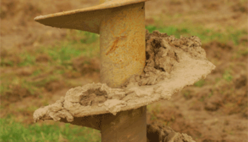
Geotechnical drilling programs are designed to characterize the subsurface at a project site in order to properly design foundations and avoid any subsurface hazards. However, drilling alone only provides isolated locations where subsurface information is obtained. Performing a geophysical survey at a project site … [Read more...]
Geologic Hazards
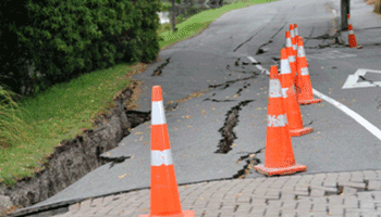
Subsurface geologic hazards can pose problems for pre-construction design, the integrity of existing structures, and the general stability of a project site. The utilization of geophysical methods to characterize a site can help to identify unknown hazards, as well as properly delineate existing hazardous features. … [Read more...]
Landfill Geophysics

Proper delineation of the extents of buried debris/materials that are associated with landfill sites can be a serious problem for companies that are planning on re-developing the site, or for environmental concerns associated with the buried materials. Geophysical tools can assist in accurately delineating the depth … [Read more...]
Water Resources

Geophysical assessments of groundwater quality/behavior and water resources Geophysical methods such as electrical resistivity measure conductivity changes that are directly linked to groundwater characteristics. These methods can be used to examine the depth of the water table, identify the fresh/salt water … [Read more...]
